7, February 2024 – Testing Accurate Real-Time Positioning for the Great Barrier Reef.
Vic Grosjean Testing Accurate Real-Time Positioning for the Great Barrier Reef.
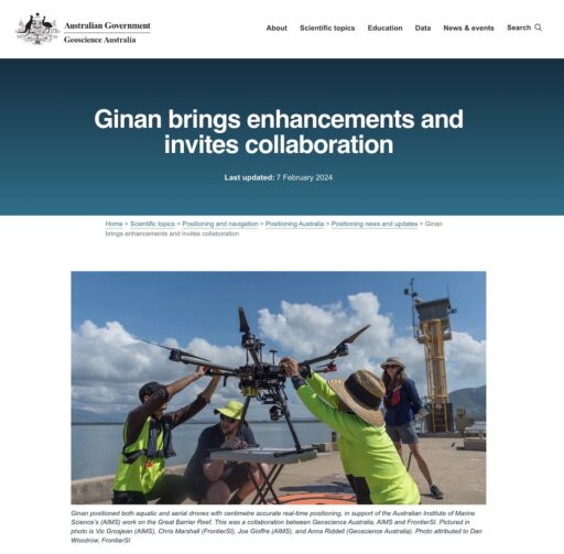
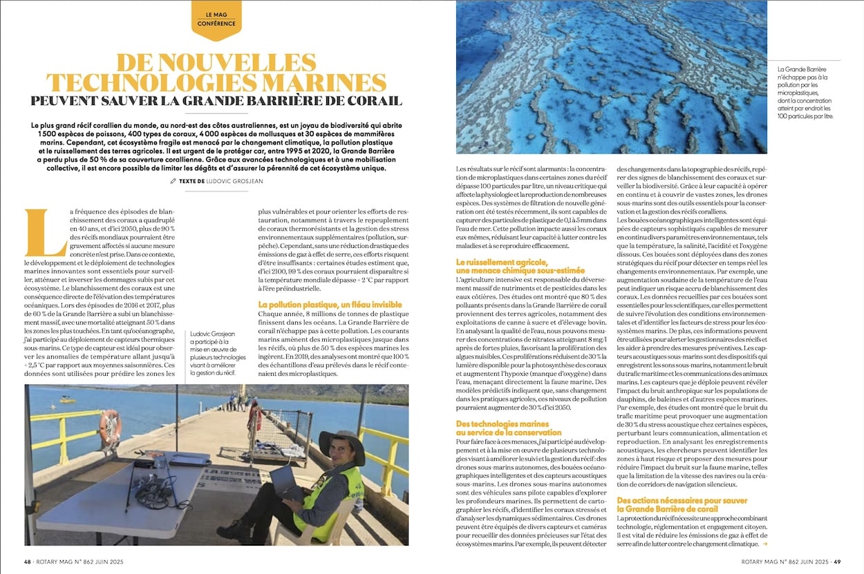
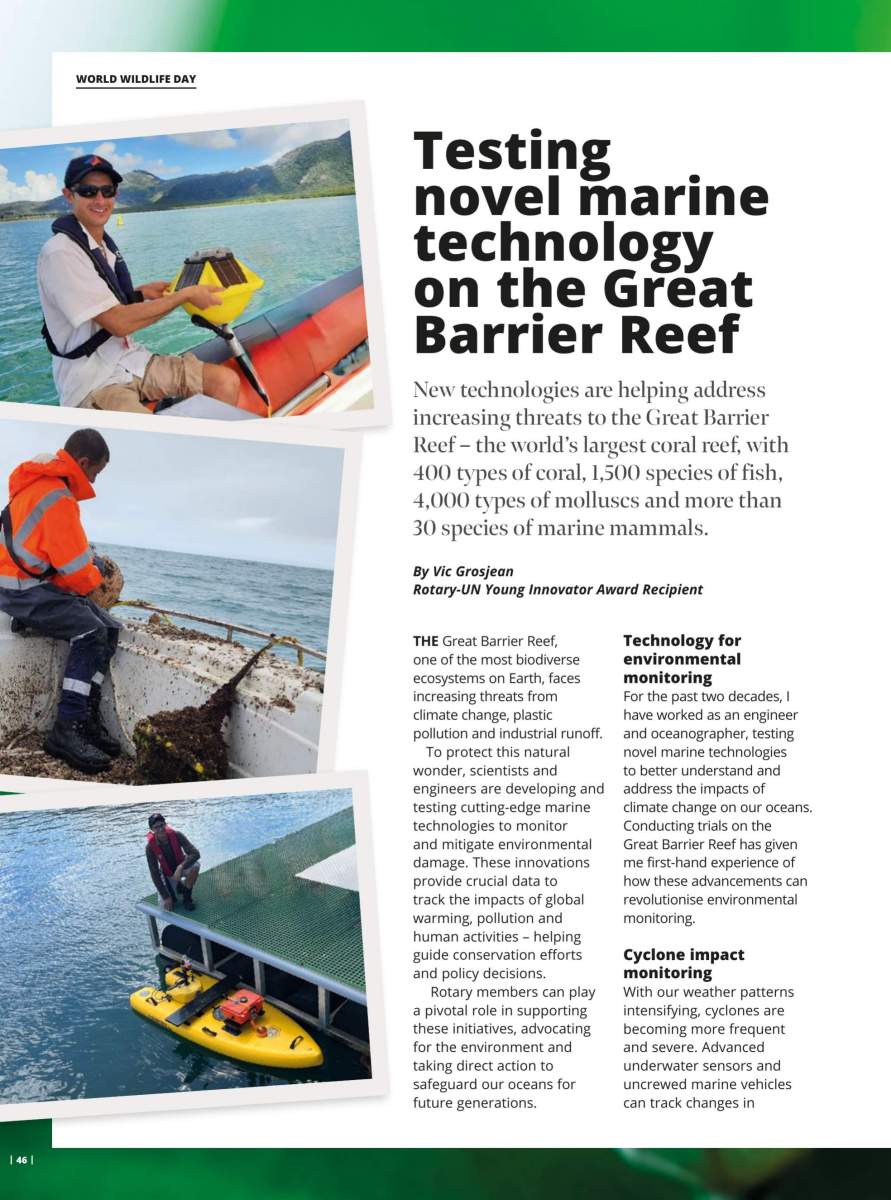
The Great Barrier Reef, one of the world’s most treasured marine ecosystems, requires precise monitoring and cutting-edge technology to safeguard its health. Thanks to a collaborative effort between the Australian Institute of Marine Science (AIMS), Geoscience Australia, and FrontierSI, a breakthrough in real-time positioning accuracy has been achieved. At the heart of this success is Ginan, an open-source precise point positioning (PPP) toolkit, which has been instrumental in supporting AIMS’s work on the reef.
Ginan: Advancing Accurate Positioning Technology
Ginan, developed by Geoscience Australia, is a free-to-use software toolkit that leverages global navigation satellite system (GNSS) observations to achieve centimetre-level accuracy. With the release of version 3, this real-time kinematic (RTK) positioning tool now boasts enhanced features such as improved positioning performance, simplified configuration, and the capability to estimate orbital trajectories for low Earth orbit (LEO) satellites.
Anna Riddell, Director of GNSS Analysis at Geoscience Australia, emphasized the significance of these enhancements:
“The latest version of Ginan offers improved software performance and enables precise orbit determination for LEO satellites, which is a significant advancement in positioning technology.”
Real-Time Positioning for the Great Barrier Reef
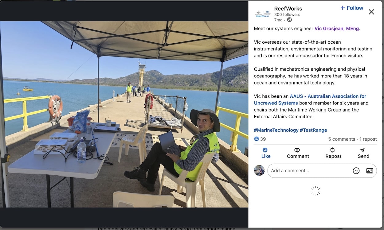
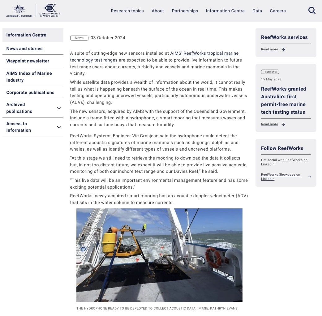
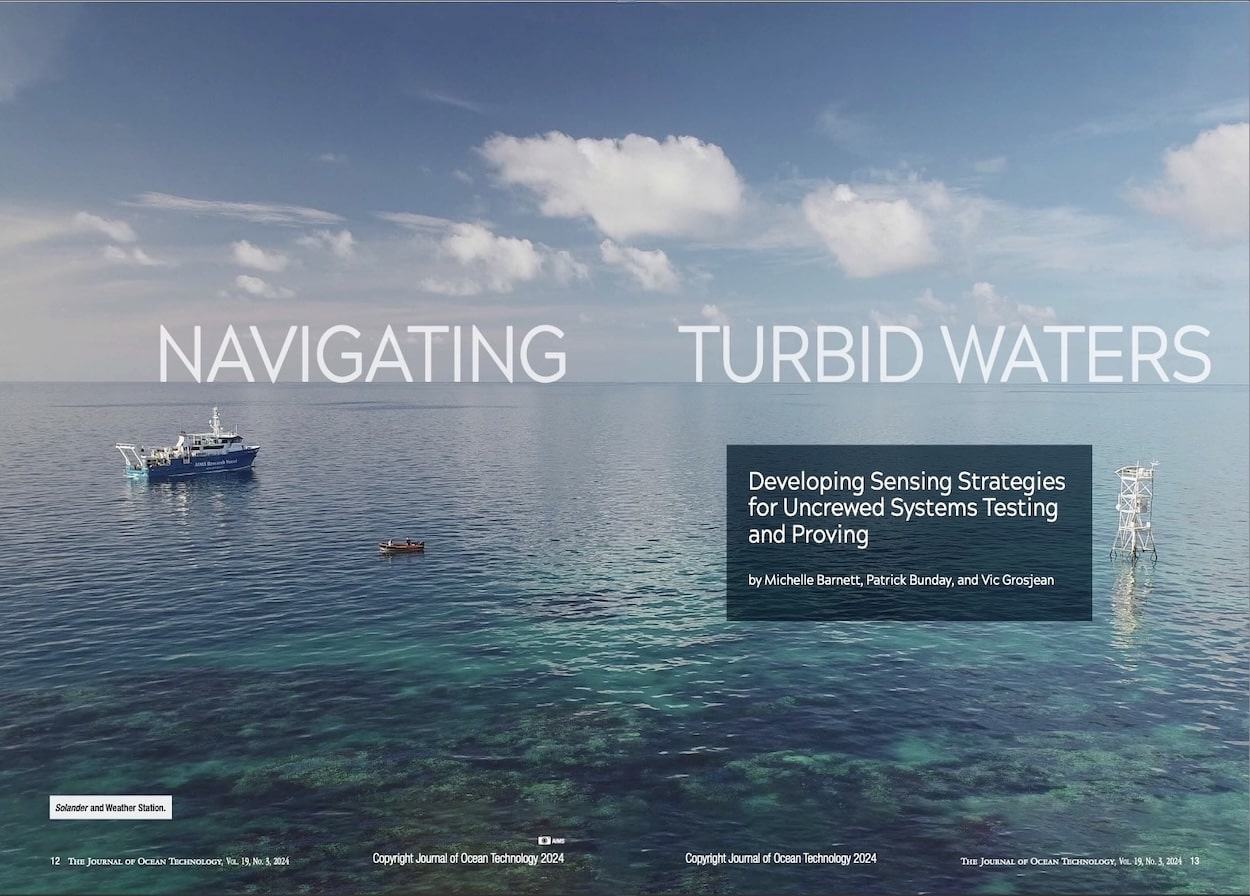
As part of a marine case study demonstrator, AIMS and FrontierSI trialed Ginan at ReefWorks, the tropical marine technology test range. The goal was to test the accuracy of positioning in a real-world marine environment.
Utilizing Ginan’s capabilities, researchers successfully positioned both an aerial drone and a Surf-Bee aquatic drone with centimetre-level accuracy in real time. This level of precision is essential for various applications, including reef monitoring, environmental assessments, and marine conservation projects.
Chris Marshall from FrontierSI highlighted the collaboration’s success:
“By integrating Ginan’s precise positioning, we demonstrated how this technology can support marine research and conservation efforts on the Great Barrier Reef.”
The Future of Precise Positioning in Marine Research
The benefits of accurate real-time positioning extend beyond reef monitoring. Ginan’s open-source framework encourages global collaboration among researchers, engineers, and marine scientists, fostering innovation in positioning, navigation, and timing (PNT) solutions.
Vic Grosjean, Systems Engineer at AIMS, emphasized the importance of industry and research partnerships.
“This project exemplifies how strategic collaborations between government agencies, research institutions, and industry partners can drive technological advancements that benefit environmental science and conservation.”
With continuous advancements in real-time satellite positioning and marine technology, Ginan is set to play a crucial role in the future of high-accuracy GNSS applications.
Chartered Engineer with 2 decades of Ocean experience, Vic Grosjean is Principal Consultant at OceanX Group, an Engineering Consultancy specialising in Environmental Monitoring solutions.
As a leader and community educator, he strives for projects to reduce water pollution on a global scale and make a long-term difference for humanity. His career focus is to build collaboration between organizations in order to advance Engineering and preserve the Environment with the ultimate goal of Saving our Oceans.