| FOR IMMEDIATE RELEASE |
8, February 2024 – Ginan Version 3 Open-Source Toolkit Released.
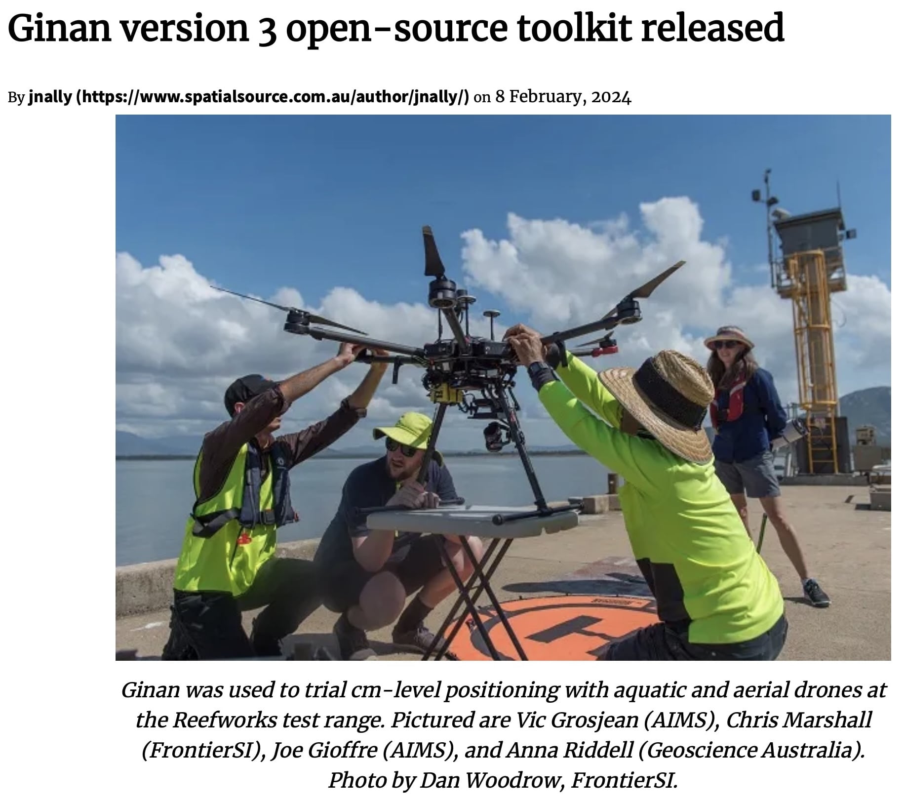
The latest release of the Ginan toolkit, version 3, marks a significant advancement in open-source tools for precise positioning. Developed to enhance centimeter-level accuracy, Ginan version 3 is set to revolutionize the use of aquatic and aerial drones.
A Leap Forward in Positioning Technology
Ginan version 3 offers robust features that cater to the growing needs of researchers and developers in the field of precise positioning. This open-source toolkit provides advanced algorithms and tools for processing data from Global Navigation Satellite Systems (GNSS), enabling highly accurate positioning solutions.
Key Features and Enhancements
The new version of Ginan includes several notable improvements:
- Enhanced Accuracy: The toolkit is designed to deliver centimeter-level positioning accuracy, which is critical for applications requiring high precision.
- Compatibility with Drones: Ginan version 3 has been successfully trialed with both aquatic and aerial drones, showcasing its versatility in various environments.
- User-Friendly Interface: The updated interface and improved documentation make it easier for users to implement and customize the toolkit for their specific needs.
Collaboration and Open Source Development
The development of Ginan version 3 is a testament to the power of collaborative, open-source projects. By making the toolkit freely available, the developers encourage contributions from the global community, fostering innovation and continuous improvement.
Future Prospects
As the demand for precise positioning grows, Ginan version 3 is poised to play a crucial role in advancing GNSS technology. Its applications are not limited to environmental monitoring but extend to fields such as agriculture, urban planning, and disaster management.
Read more:
For more detailed information, visit the full article on Spatial Source.


